WalkBike.Info
Your Hyperlocal One Stop Shop for People Who Walk and Bike
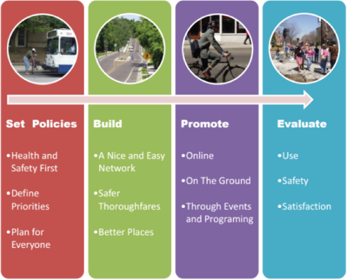
WalkBike.Info is a website that helps people who walk and bike find the resources they need in their own town. It gets them engaged in making their community a better place to walk and bike and provides a way to track their individual progress as well as the community’s progress. The platform was developed by The Greenway Collaborative, as a turn key operation to provide a quick, inexpensive way for communities to promote, support and evaluate walking and biking. See how five diverse communities in Michigan are using WalkBike.Info to promote, support and evaluate walking and biking.
Maps & Guides
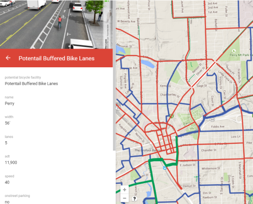
Web maps of the bicycle and pedestrian network allow users to zoom in and see details about a particular route. Recommended walking routes in parks and neighborhoods are provided that link to popular apps to track distances and times. Information on regional trails, water trails and transit is also provided.
Explore the Grand Region Trails page for online maps of 18 regional trails.
Community Dashboard
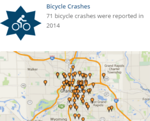
The dashboard provides a snap shot of the communities bicycling and walking environment. Existing resources are used to measure a community progress by tracking key walking and bicycling benchmarks. Some key data sets include, bicycle and pedestrian crashes, WalkScore and BikeScore, popular walking and bicycling routes, and commute to work data.
Active Living
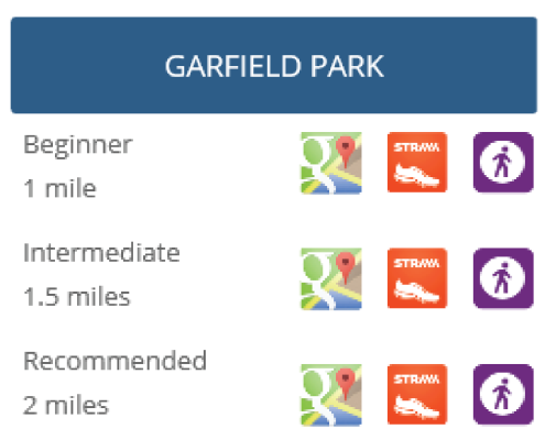
Pick a Plan… Choose a Park… Go for a Walk! It is recommended you get 150 minutes of moderate-intensity activity a week. Staged walking plans are provided to help reach that fitness goal.
Real-time Discussions & Input
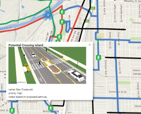
Community members learn about proposed plans and provide feedback through crowdsourcing maps and polls. The maps are interactive and allow users to zoom in to a particular area and provide location specific input.
The City of Pontiac is collecting public input through 7 in-person meetings and a crowdsourcing map.
Planning Updates & Resources
Information on the planning process is provided, including meeting locations, proposed plans and links to resources.
Check out what is being proposed for southern Grand Rapids and the Oxford Trails.
Events & Registration
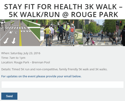
Walking and bicycling events are advertised and promoted. A contact management systems is used to support walk clubs and other groups.

