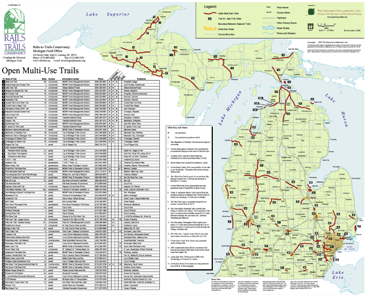
Michigan Multi-use Trail Map
This map provides an inventory of all of the open multi-use trails in the State of Michigan.
Client
Rails-to-Trails Conservancy, Michigan
416 South Cedar, Suite C
Lansing, MI 48912
Nancy Krupiarz
517-485-6022
Date: 2000-2001
Our Task
The Greenway Collaborative produced the first Michigan Trail Map and Directory for the Michigan Field Office of the Rails-to-Trails Conservancy (now the Michigan Trails and Greenways Alliance). It included creating a GIS inventory of all open multi-use trails in the State of Michigan. The data was then used to create a map of the system and an accompanying table which has information on the various trails.
The Greenway Collaborative updated the map for a few years until turning over all of the source materials to the client so they could update the map themselves. To this day, Michigan Trails and Greenway Alliance still uses the materials produced for that product to create the Michigan Trail and Map and Directory.
Downloads

